
Easy to Use
You can be producing cut & fill estimates in an hour, even with no previous experience. Whatever your workflow, Kubla Cubed has the tools you need to get the job done.

Affordable
The free Lite edition is used worldwide for simple earthworks estimating jobs, while the Professional edition has subscription and perpetual pricing models to suit your needs.

Accurate
Our earthworks software uses a cutting edge TIN prism volume calculation engine to estimate volumes. However complex your work, you can be sure your cut & fill estimates will be as accurate as it gets.

Great Support
Our specialist support team is ready to take your calls. We have expertise in earthworks estimation, CAD and PDF take-off and are happy to answer any questions.
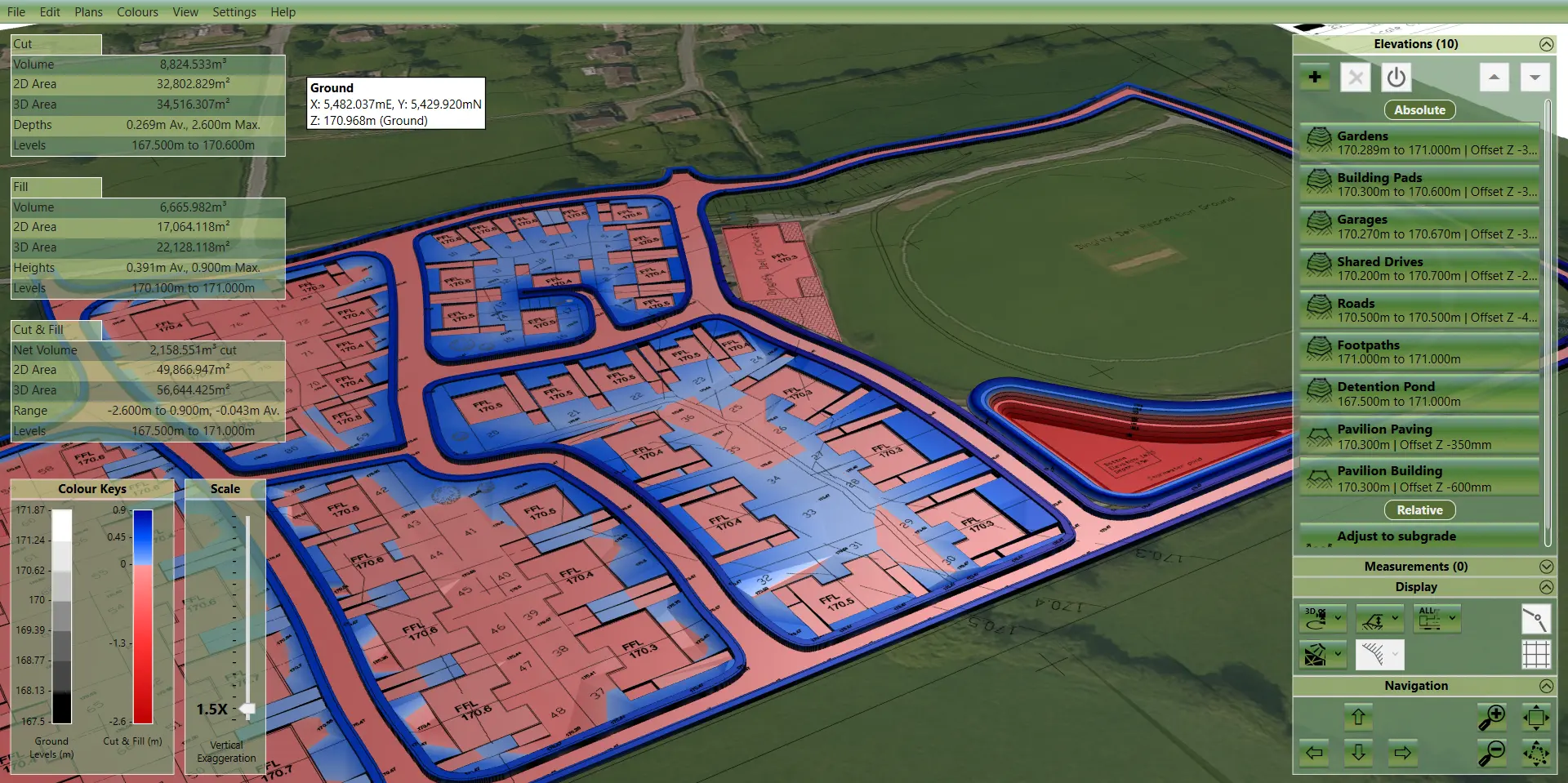
Take the 'work' out of earthworks
Our earthworks software has the tools you need to get the job done.
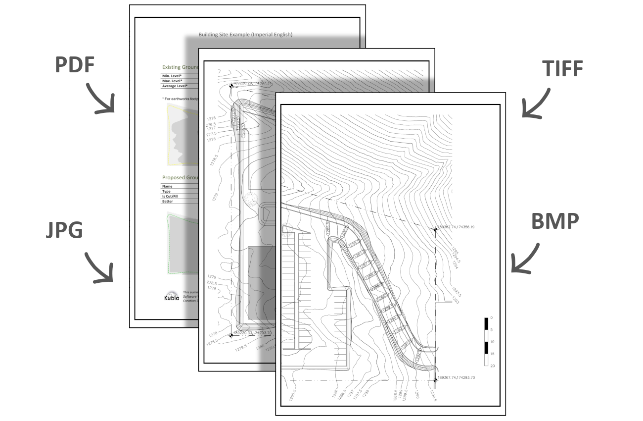
Site Plans
Load as many Site Plans as you need. Join PDFs that have been spread over several pages, or merge content from different pages.
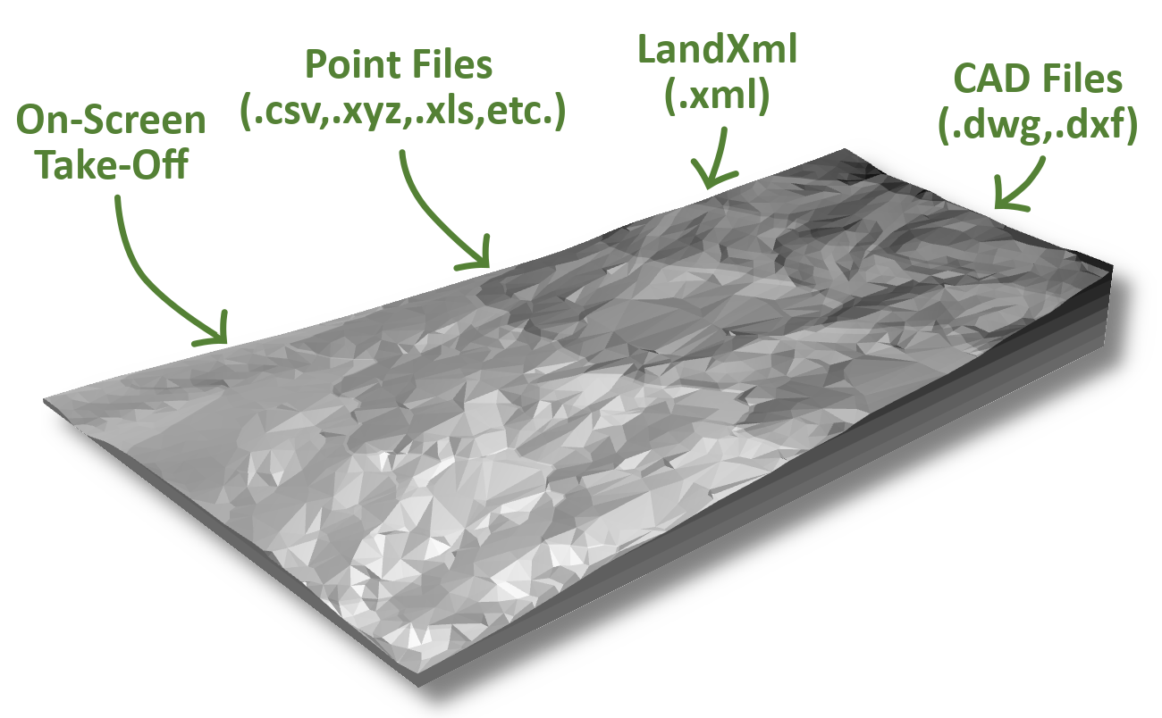
Existing Levels
Define levels from on-screen take-off, or load from files. Supported formats include CAD, LandXml and many point file formats.
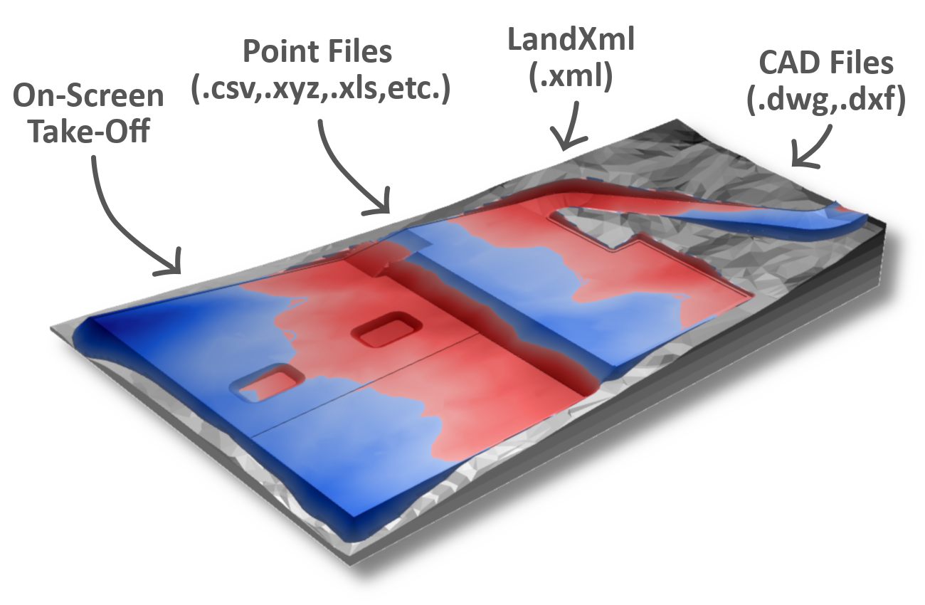
Proposed Levels
Define proposed levels on-screen, or load from files. Numerous element types allow quick and easy definition of levels.

Exports
Export to many different formats to share your work with others, or continue with your project in other CAD software.
Construction projects are complex. Your software shouldn't be.
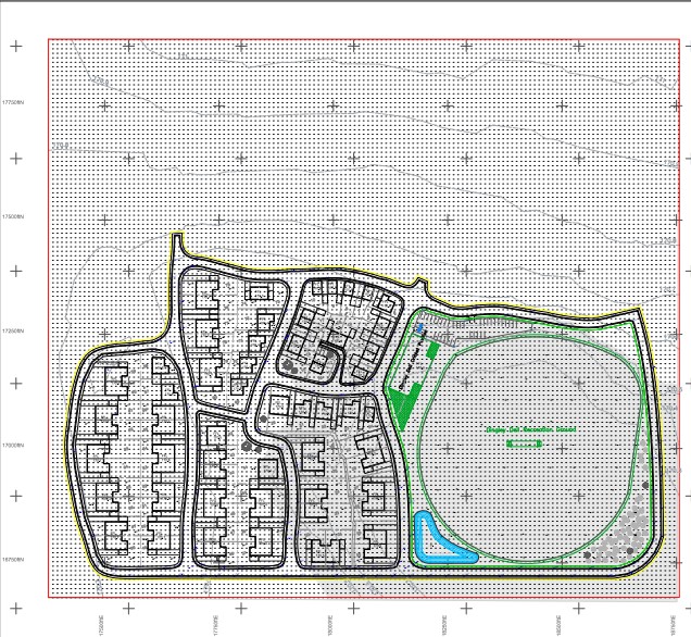
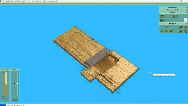
Left click to rotate, middle mouse wheel to zoom, right click to pan
Easy to Use
You can be producing cut & fill estimates in an hour, even with no previous experience. Whatever your workflow, Kubla Cubed has the tools you need to get the job done.
Affordable
The free Lite edition is used worldwide for simple earthworks estimating jobs, while the Professional edition has various pricing models to suit your needs.
Accurate
Our earthworks software uses a cutting edge TIN prism volume calculation engine to estimate volumes. However complex your work, you can be sure your cut & fill estimates will be as accurate as it gets.
Great Support
Our specialist support team is ready to take your calls. We have expertise in earthworks estimation, CAD and PDF take-off and are happy to answer any questions.
Who uses Kubla Cubed?
Built for earthworks professionals
Earthworks Contractors
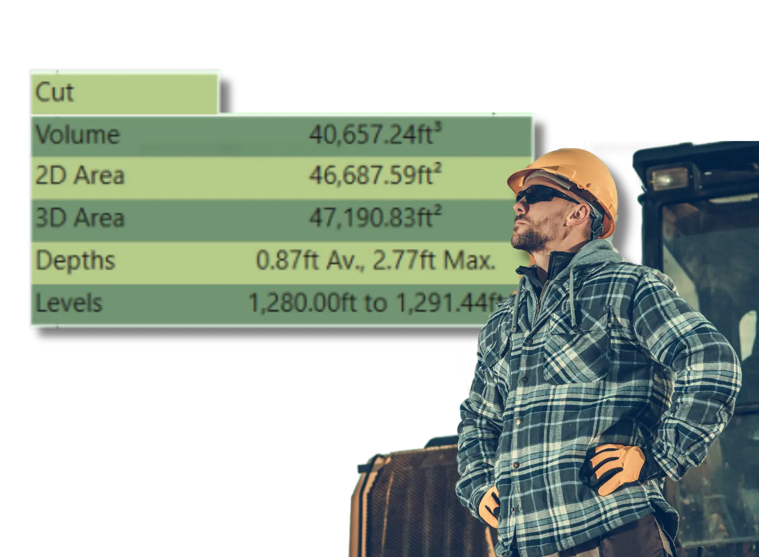
VOLUME • CUT / FILL • COST
Price jobs accurately and understand material requirements before starting work.
Quantity Surveyors
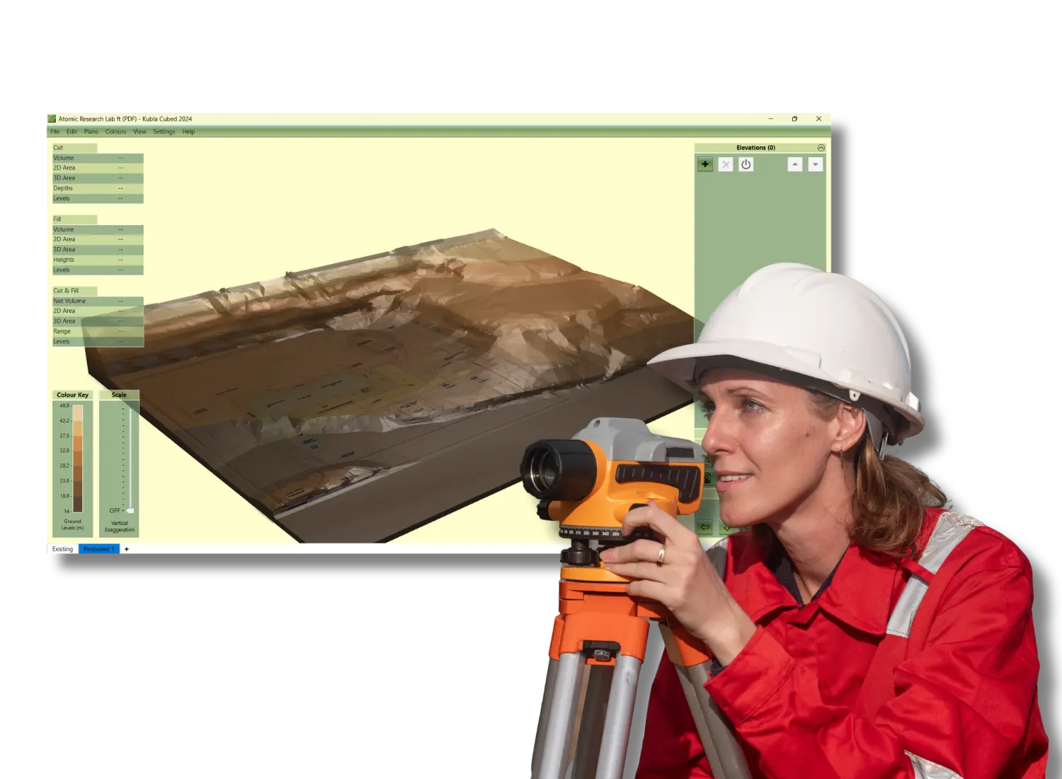
SURVEY • MODEL • QUANTIFY
Turn survey data into 3D terrain models and produce reliable quantities for cost planning.
Civil Engineers
DESIGN • REVIEW • VALIDATE
Review designs and check earthworks proposals.

Drone Operators
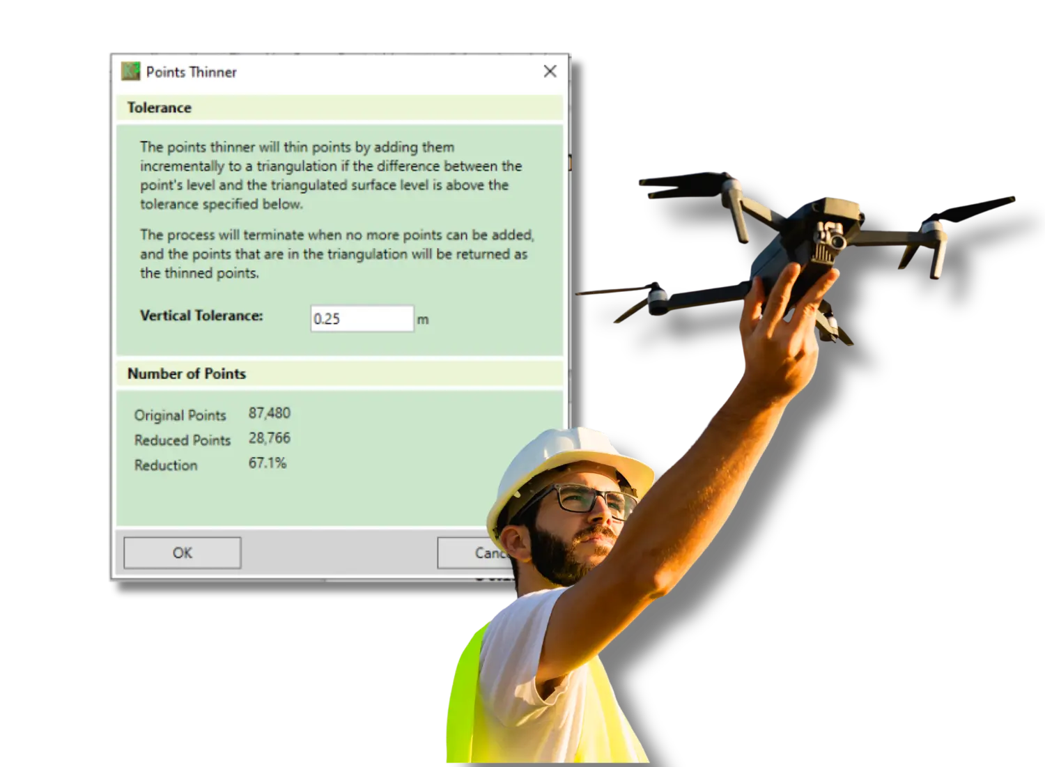
FLY • MAP • MEASURE
Turn aerial survey data into accurate 3D terrain models and earthworks quantities.
If you need accurate volume calculations to plan, price or deliver projects - Kubla Cubed is built for you.
Join our community





Trusted by contractors, estimators and surveyors worldwide
Of all the software I use, this is perhaps the most powerful. The product is continually being improved and as a user you have a sense that the developers at Kubla really want to implement your ideas.
The visuals help clients see their options early — and time is money,
The 3D image quality is phenomenal, everything about the program is easy to understand and use regardless of your experience level with this type of software, and best of all, it allows me to create 3D visuals of our projects that everyone on the team can understand.

Flexible Licensing Options
With multi-purchase discounts and subscription/perpetual options, we have the right license for you – whether you’re an earthworks contractor, estimator, quantity surveyor or a global company.
Lite Edition

Ideal for small projects and learning the software. Includes core modelling tools.
-
- Free forever
- Core tools included
- Great for training
- Use as a project viewer
Subscription

Ideal for teams who need predictable costs and immediate access to new capabilities.
-
- Single user license
- Always up to date
- Annual billing
- Includes support
Perpetual

Perfect for stable workflows and organisations that prefer fixed-cost software ownership.
-
- Single user license
- One time cost
- Never expires
- Updates for version purchased
Enterprise

Designed for larger organisations requiring multi-seat licensing and enhanced support.
-
- 5 or more users
- Single invoice
- Priority support
- Bespoke training if required
TRUSTED BY ESTIMATORS GLOBALLY:







Training & Support
Need help with a project or have a question for the team?
Cubed in Action
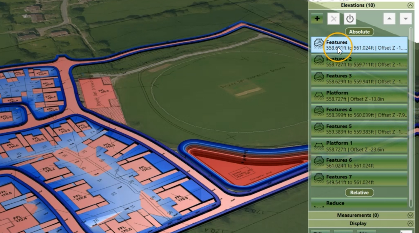
A single platform that brings estimating, measurements and reporting together. Designed to reduce errors, speed up delivery and give your team total clarity.