It is common for estimators to use Kubla Cubed to measure volumes and then use another 2D take-off program to measure areas. They can then calculate the paving volumes by multiplying the area by the thickness. This a simple approach, however it does involve potentially measuring the same areas twice. Once in Kubla Cubed and once in the other program. This is time consuming if site plans need to be imported twice and scaled and stitched twice.
It is possible to use Kubla Cubed areas to calculate using this technique. The first method is simply to use the ‘Area’ element which can be found in the ‘Measurement’ panel. Here you can take-off area measurements and then use the 2D Boundary Area in the ‘User Input’ reports to make paving estimates. This works but does not use 3D areas and potentially requires you to retrace areas you have already traced when doing the bulk earthworks. However it does avoid having to import site plans into another program
|
Choosing between 2D or 3D Areas Before using areas to calculate paving volumes it is worth considering whether you want to use 2D or 3D areas. The 2D areas reported are the same as if measured from a paper plan, this is often the traditional approach to estimating paving volumes. The 3D areas take into account the surface area of the topography and therefore will always be the same or larger than the 2D area. Mainly when calculating paving 2D areas are sufficient, however 3D areas might be required if the land is on a steep incline where the surface area in 3D is far greater than it is when viewed from above. If you think of a golf course and the calculations required for how much turf might be needed a 2D area would often leave you considerably shy of the true requirement. |
Another method to obtain the areas is to use the earthworks estimation disturbance areas. The 2D areas or 3D areas can be used depending on requirements. If you have setup your bulk earthworks in such a ways that either :
A) Using the ‘offset method’ you have different paving areas represented by different elements
or
B) Using the ‘reduce method’ method you have different paving areas being reduced by different reduce elements
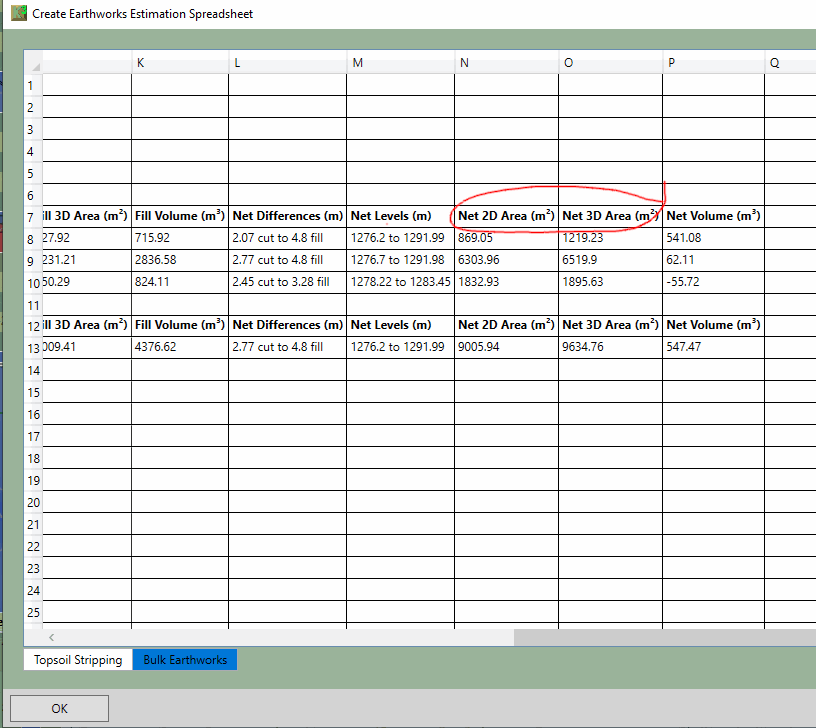
Then the ‘Break down by Element’ in the earthworks estimation report can be used to find the areas of the paving. Both the 2D areas and the 3D areas are available depending on requirements.
There is one catch with this method and that is if an element does not actually change the ground in one area. For instance if an earthworks element only ends up changing 70% of the ground (i.e some of the proposed levels match the ground level) than the disturbance areas will not report the whole area and hence cannot be used for paving calculations. Another issue can be that disturbance areas will also include the side batter of an element, this not be what’s required so in this case another method would have to be used.
|
Why not use Boundary 2D Areas contained in the User Input Reports? It is possible to use Boundary 2D Areas reported in the User Input reports for this task, but there are a couple of issues. Firstly they report the area of the boundary outline which does not include the side slopes of the earthworks (although this might be desirable). A potentially bigger problem relates to intersecting earthworks elements. If two earthwork elements intersect, the one lower in the calculation order will report in the area of intersection, this means you will not get double reporting of disturbance areas (2D or 3D) or volumes. However the User Input areas do not have this benefit so the areas will double report paving if two earthwork elements intersect. |