Most BIM systems support the import of data using CAD files (e.g. .dwg, .dxf) so this is the bet option for importing linework (earthworks definition boundaries, measurement positions, lengths and areas etc..). You can do this by selecting File from the menu bar and then Export>CADData.
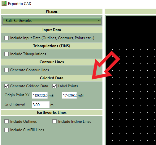
When it comes to the topography things get a bit more complicated. Kubla Cubed uses TINS for calculating and storing topography and so if a BIM program also supports TINS then this is the best way to import the data. However some BIM systems do not support TIN or slightly more confusingly some will take the points from the TIN but not the triangle data so the surface actually changes when imported. In both these situations if a BIM software does not support TIN then you can export the surfaces as either a high density point cloud or contour lines.
To do this select the following options from File>Export>CAD Datascreen to generate gridded points to go into the BIM system. The image below shows which options to choose.